Mathematics in Nautical Navigation
The Challenge: Dead Reckoning
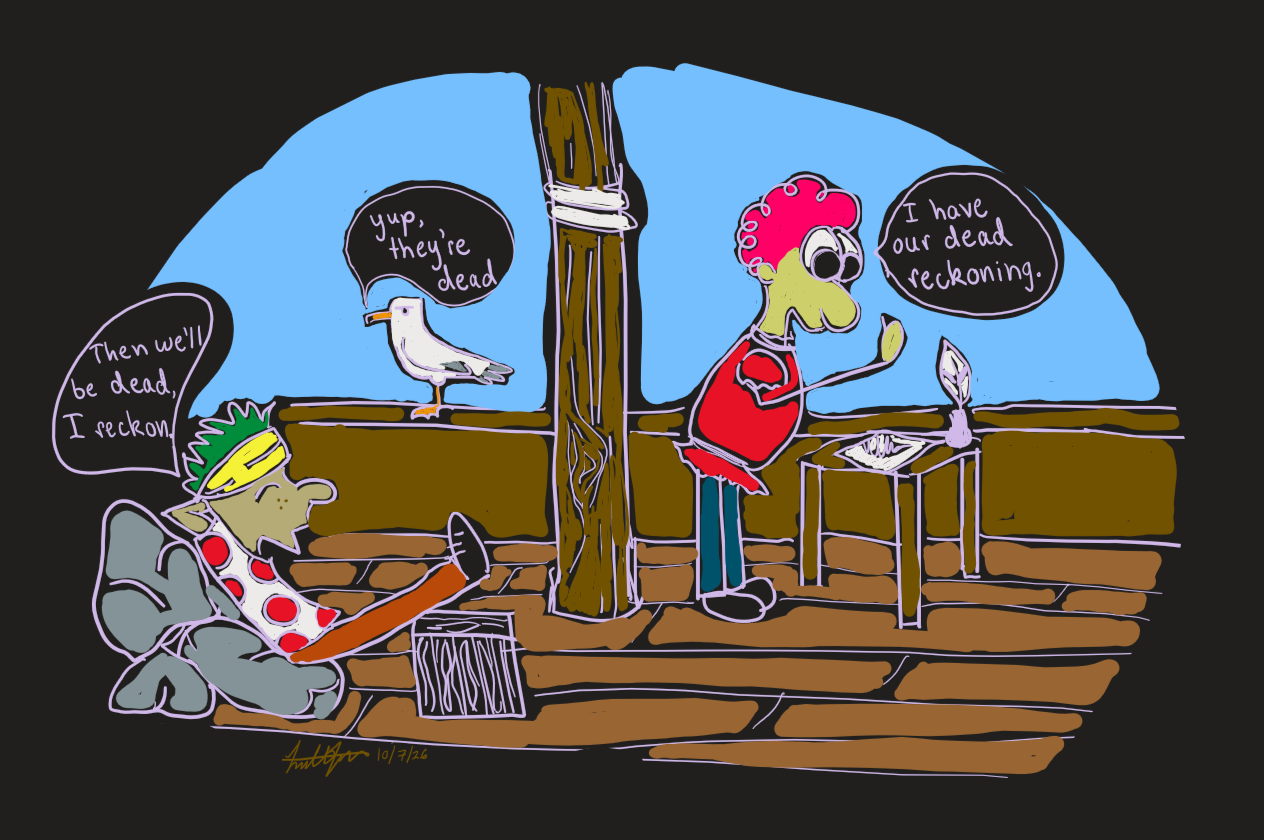
Imagine you go out for a walk. You have to close your eyes and walk for 10 minutes. You know what direction you are walking in, you know how fast you were walking. So you should know exactly where you are without opening your eyes, right? This is dead reckoning. It is a navigation technique that uses speed and direction to figure out distance. The problem is that you probably opened your eyes and weren't as far as you thought you were. Imagine being on a ship and there are waves pushing you, currents that move you subtly further East without you realizing. That's a problem. Land could be just over the horizon but you sail right past because you were 1 mile too far to see it. As you can imagine, a lot of people died.